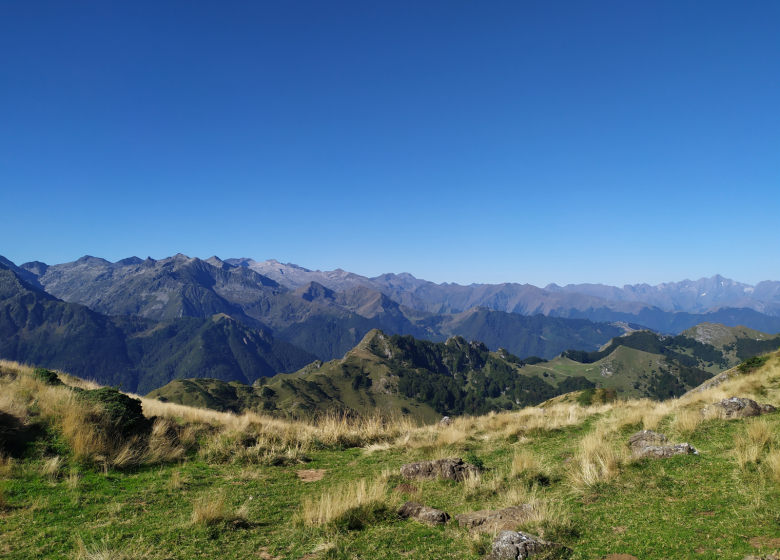
0:00 Take the path near the corral. Follow it across the plateau to the
0:10 Fontaine abreuvoir: straight ahead on the GR10
0:30 Leave the fork on your left and continue on the GR10 (towards Port de Saleix)
0:35 New fork on your right, keep straight on the GR10, which climbs in regular laces towards
1:30 Port de Saleix: continue climbing to the left and north (note the field of dolines to the east) on the GR de pays, following the ridge line towards the
2:30 Mont Ceint (or Pic de Girantés): continue downhill along the ridgeline, heading northeast for 100 m, then northwest for 250 m. At a hollow, you'll find sinkholes on your left.
2:50 Leave the GRP by turning left and skirting the dolines to the north, then gradually descend to the west; after forty minutes or so on the flank, with a view to the north towards
the Etang de l'Hers, you switch to the south-west at a small pass below the Tuc des Palouméres, and descend to the Plateau de Girant.
3:45 Plateau de Girantés: continue to the right on the slope, descending slightly towards the Pas du Roc, where you pass the stream and a small pond; then descend through the woods, cross the meadow and rejoin the road.
4:15 departmental road N°8: turn left to return to Coumebiére
4.30 end
Spoken languages
- French
Itinerary
In detail
- Distance : 8 m²
- Elevation gain: 682 m
- Daily duration: 04h15
- Route type: boucle
- Markup precision: Marked route in yellow then in yellow and red (GR Pays) and in white and red (GR 10) ; Circuit No M6
- Type of land: Ground
Equipments & services
Equipments
- Picnic area
- Car park
 Local and gastronomic know-how
  Living traditions
  Thermalism
  Must-see sights
  In the heart of the Ariège Pyrenees Regional Nature Park
  Hiking in the Couserans
  Cycling and mountain biking
  Hikes for little legs
  Thrills
  We have plenty of good runs in Guzet !
  Swimming spots
  The Couserans Trail Area
  Winter resorts and activities
  Where to sleep ?
  Where to eat ?
  To do ?