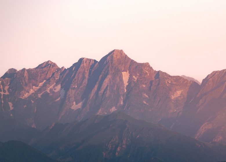
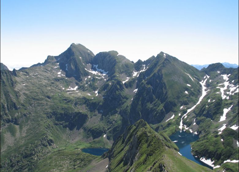
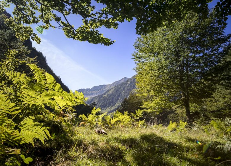
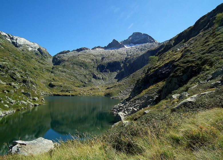
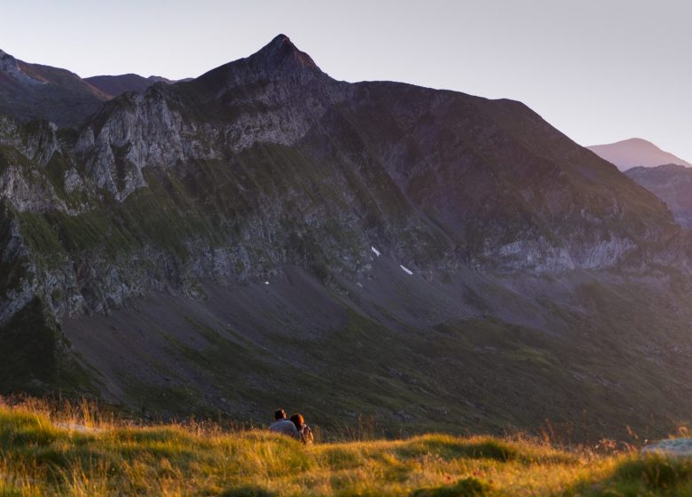
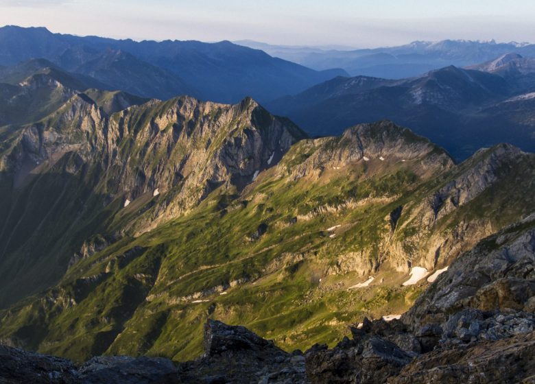
This spectacular hike is one of the most beautiful in the Pyrenees, with an ascent of Mont Valier, the emblematic summit of the Couserans.
You'll admire the Ribérot valley with its waterfalls, lakes, the Milouga ponds and the Muscadet valley.

1/Departure from the Pla de la Lau car park 0h - 935 m
Follow the GR10 down to the stream and to the right (signposted), leaving it quickly (do not cross the footbridge) to go straight ahead on the Port de la Girelle GRT (cross-border), signposted in red and white. A little further on, leave the Barlonguère route on the right and cross two footbridges on the left. Go up the right bank of the stream along the well-marked path that continues through the forest and ends near a rock shelter (la tutte de l'ours). The path splits and a footbridge allows you to follow the route on the other bank to reach the

2/Cascade de Nérech 1h40 - 1350 m
Cross the footbridge and climb the switchbacks carved into the rock. Further on you come out into the meadow and continue as far as

3/La cabane de Caussis 3h - 1859 m
At the fork in the path, take the path up on the left, still signposted in red and white (the path on the right takes 30 minutes to the Etang Rond). The climb is less steep and it won't be long before you reach the

4/Refuge des Estagnous 4h - 2246 m
Leave the red and white markings and follow the well-marked yellow path (heading east-south-east). It quickly rises to a rocky spur that can be bypassed on the right. The climb is steep (snow-covered at the start of the season) towards the Col de Faustin. The route then becomes easy, deviates slightly from the ridge and quickly leads to the

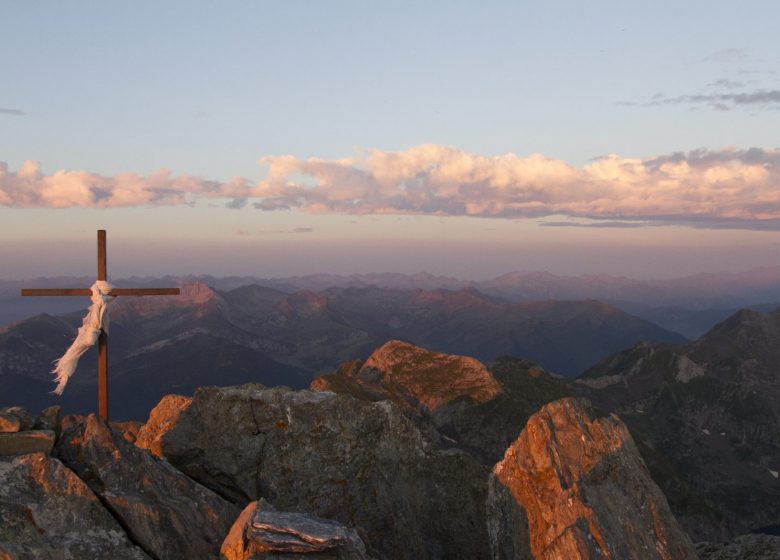
5/Summit of Mont-Valier 5h30 - 2838 m
The return journey takes the same route in the opposite direction to the refuge, behind which the yellow signposted trail climbs to the Col de Pécouch (2462 m) and descends through the Lauzés (a large granite plain that is best crossed without fog) to arrive at

6/Milouga pond (1959 m).
An almost flat crossing (always marked in yellow) takes you back to the

7/Taus hut (1890 m).
From here a gentle climb joins the GR10 (red and white), which takes you to the Aouen hut and then a long descent to the Pla la Lau car park.

8/Parking du Pla de la Lau 11h30 935 m

Spoken languages

  • French

Itinerary

In detail

  • Distance : 21 m²
  • Elevation gain: 1900 m
  • Daily duration: 11h30
  • Route type: boucle
  • Markup precision: Red/white then yellow markings
  • Type of land: Ground

Equipments & services

Services