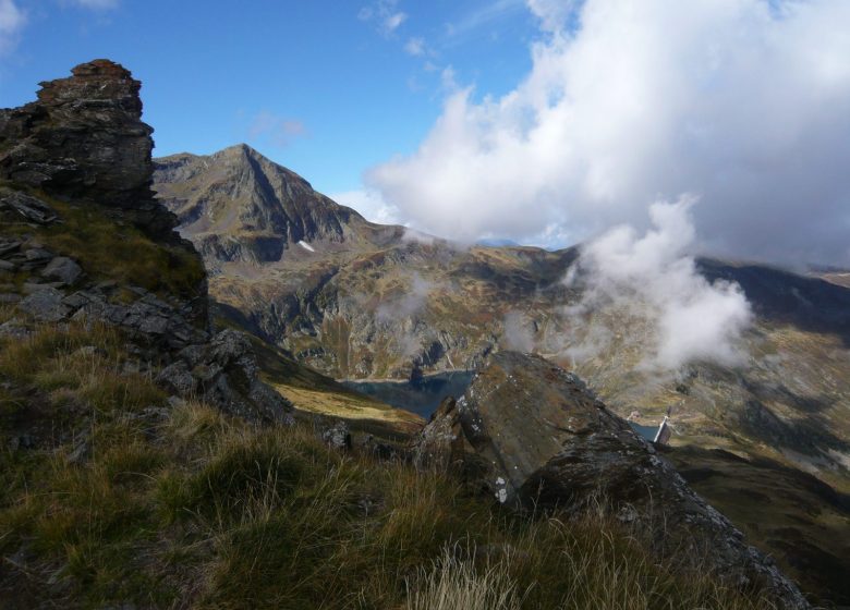
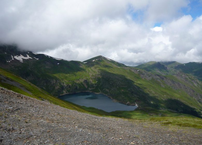
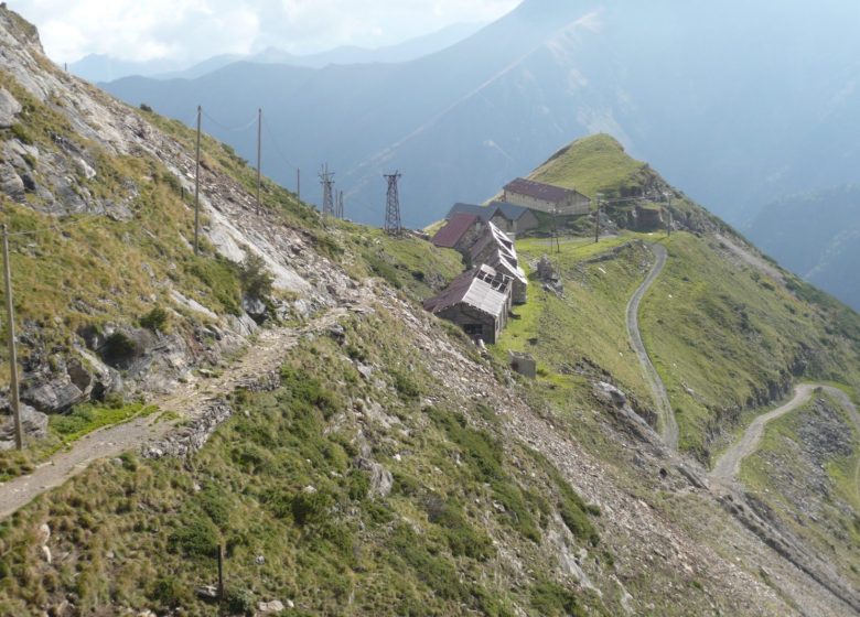
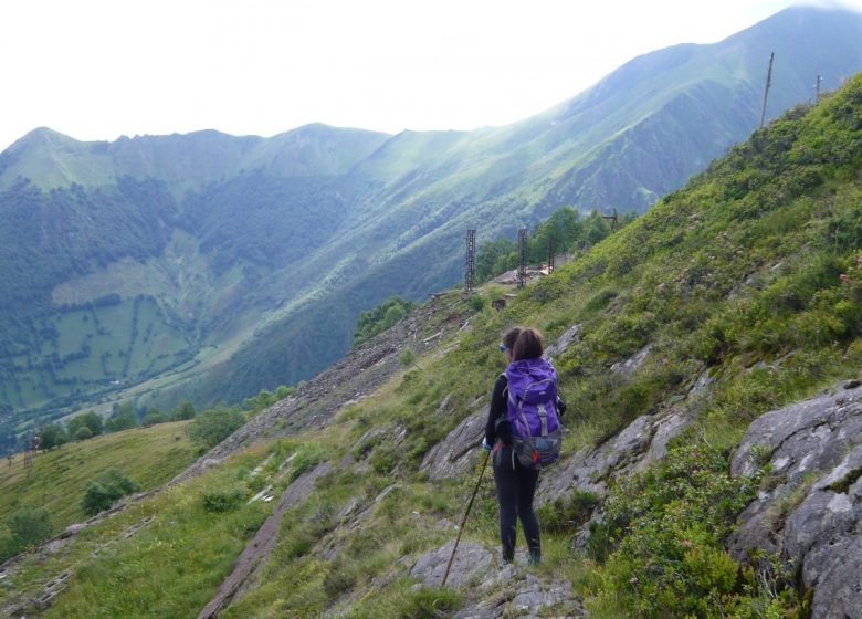
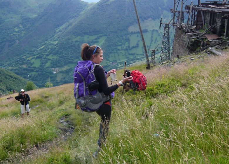
The summit of the Pic de l'Har fulfils all its promises as a lookout point: the high peaks of the Couserans are all visible along the border ridge.
The panorama is 360° and offers an unbeatable view of the Pyrenean mountains.
Spoken languages
- French
Itinerary
In detail
- Distance : 17 m²
- Elevation gain: 1444 m
- Daily duration: 07h00
- Route type: boucle
- Markup precision: Jaune sur la premier quart puis Jaune et Rouge sur le deuxième (GR de pays) puis Rouge et Blanc sur la deuxième partie (balisage GR)
- Type of land: Rock
- Type of land: Stone
- Type of land: Ground
Equipments & services
Equipments
- Free car park
- Car park
 Local and gastronomic know-how
  Living traditions
  Thermalism
  Must-see sights
  In the heart of the Ariège Pyrenees Regional Nature Park
  Hiking in the Couserans
  Cycling and mountain biking
  Hikes for little legs
  Thrills
  We have plenty of good runs in Guzet !
  Swimming spots
  The Couserans Trail Area
  Winter resorts and activities
  Where to sleep ?
  Where to eat ?
  To do ?